A Ridge Walk for Reading Place Names
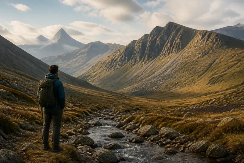
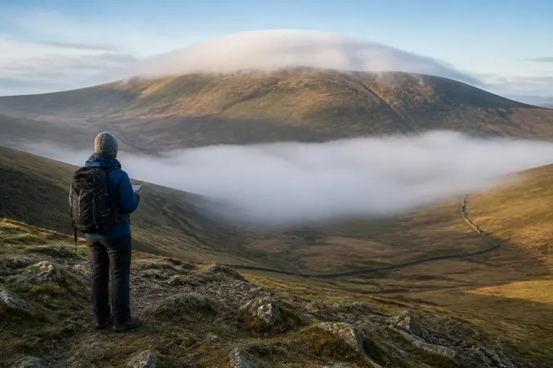
A ridge walk for reading place names helps you connect map labels with ridges, passes, and valleys while keeping tempting origin stories in check.
The common mistake on a ridge walk for reading place names is to treat a familiar-sounding label as a solved riddle. A name like “The Gate” may seem to explain a narrow pass, but that guess can distract you from what the map and ground actually show. Treat each name as a clue to investigate, not proof of its origin.
A useful walk pairs a paper map or offline mapping app with a small notebook. Choose a route that reaches a ridge, crosses or overlooks a pass, and gives you a clear view into a valley. Keep the pace slow enough to compare labels with landforms, and record what you can observe separately from what you suspect.
Map the name first
Before setting out, scan the map for names attached to the ridge, its saddles, and the valley below. Notice where each label sits: beside a contour line, at a stream junction, on a summit, or near a path crossing. The placement can suggest what feature the name refers to, though map lettering may be offset to avoid crowding.
Copy a few names exactly, including spelling and any apostrophes. Mark the relevant feature beside each one: ridge crest, pass, slope, stream, or settlement. If two maps spell a name differently, note both versions rather than choosing the one that seems more plausible. A name’s appearance in a particular map is evidence that the map uses it, not evidence of how the name began.
Check the map key and contour pattern too. A pass often appears as a lower point between higher ground, while a ridge runs along a sequence of elevated land. These shapes help you test whether a label seems connected to the feature you expect. Do not assume that every name containing “pass,” “gap,” or “gate” marks a route that is currently open or easy to follow.
Names that seem misplaced
A label may look detached from the feature it names. That usually happens because map text has to fit around other symbols, or because the name refers to a broader area than its position suggests. Try following the label’s spacing and nearby features before deciding that it belongs to the closest point on the ground.
At a safe viewpoint, compare the map’s named feature with the terrain’s shape. Look for a crest, notch, stream, or hollow that could account for the label. If the view is blocked, record “unclear from here” and move on; scrambling toward a better angle is not a sensible price for a name.
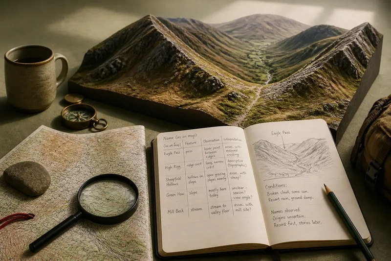
Say you see “Eagle Pass” printed near a saddle, but the lettering sits closer to a shoulder. You note the saddle and shoulder separately, then check from a later viewpoint. If the saddle aligns with the mapped crossing, you can write that the label appears associated with it; you still cannot infer why “Eagle” was chosen.
Similar names, different features
Ridges and valleys often repeat common words. “Long Hill,” “Black Crag,” or “Mill Beck” may occur more than once across a wider map area. The usual cause of confusion is reading a label without its neighboring names or grid location.
Keep each name tied to a visible map reference, such as a grid square, stream bend, or path junction. On the walk, note whether the label appears to identify one point or a stretch of terrain. A valley name, for instance, may cover the drainage and settlements along it rather than a single hollow.
Do not spend the whole walk hunting for a feature that shares a name with something elsewhere on the map. A quick check of the map’s full extent can rule out a nearby duplicate. The useful observation is often the relationship among names: a pass between two slopes, a stream descending through a valley, or a settlement at the route’s lower end.
Clues that invite stories
Some names sound like descriptions; others resemble personal names, occupations, animals, or older words. The problem is that resemblance can feel more conclusive than it is. A modern spelling may have changed, and the same sound can have more than one explanation.
Write down the observation and the interpretation in separate columns. “Name includes ‘sheep’; open grazing slopes nearby” is an observation paired with a cautious association. “Named after a shepherd who crossed here” is a specific origin story that the landscape alone cannot establish.
When a name raises a question, look for reliable local place-name material later, such as a county heritage resource, a local history collection, or a specialist place-name reference. Compare the explanation’s evidence and geographic scope with your notes. If the source offers several possible readings, preserve that uncertainty instead of selecting the most picturesque one.
What if the landscape disagrees?
A name may seem at odds with the view: a “Green” slope looks brown, or a “Broad” pass appears narrow from where you stand. The cause may be the season, the viewing angle, or a name that refers to a larger area or an earlier description. A single moment on the ridge cannot settle which explanation applies.
Record conditions that affect what you see, such as recent rain, snow cover, low cloud, or a viewpoint from one side only. Then describe the landform in plain terms: steep or gentle, open or enclosed, rocky or grassy. This gives your notes value even if the name’s relationship to the scene remains uncertain.
Avoid forcing the landscape to match the wording. “The slope below the crest is mostly bare today” is more useful than “the name must refer to its winter color.” Names can preserve associations that are not obvious from the present view, and some may simply be difficult to interpret without documentary evidence.
When should you check?
Should I use a paper map or an app?
Either can work if the map shows named features clearly and remains available without a signal. A paper map makes it easy to see nearby names together, while an offline app can help you check your location; carry a suitable backup for the route.
Can a place name identify the safest crossing?
No. A name may point toward a historic or familiar route, but it does not describe current ground conditions, access, or hazards. Use current route information and sound judgment rather than treating a label as route guidance.
What should I do if spellings differ?
Record the versions and note which map or local source uses each one. Do not silently combine them or assume one is an error; spelling differences can reflect map choices or changes in how a name is written.
How much time should I spend on one name?
Spend enough time to locate the mapped feature and make a concise observation, then continue. If the origin remains uncertain, mark it as a question for later rather than letting a single label take over the walk.
Keep the notes useful
Use a compact entry for each name: exact spelling, map source, apparent feature, what you saw, and any question to check later. Add a direction or nearby landmark if it will help you remember the viewpoint. A quick sketch can clarify which saddle or valley you mean better than a long paragraph.
Imagine you note “Fox’s Pass” beside a mapped saddle, see a narrow crossing between two slopes, and write that the name appears to refer to that crossing. Your entry is useful because it links the label, the map, and an observable feature without inventing a story about foxes or the person named.
What is not worth the effort? Trying to decode every label on the map, or collecting spellings from unsourced online lists while you are still on the hill. A handful of carefully located names will tell you more than a page of guesses.
A ridge walk for reading place names works best when your final notes preserve both the connection and the gap: where a name appears to fit the land, and what remains unknown. That distinction lets you return to a map, a local archive, or another viewpoint with a sharper question—and keeps the landscape itself in view.